 Home
Home
Gaining Some Height
I decided to group them, because let's be honest here, this is never going to be a massive section. One fortnight a year is not enough to make this section explode. Moreover, I have to mind the comfort zone of my better half.
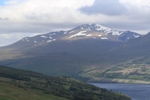
So here they are: the Grahams, Corbetts and Munros we tackled over the years. For more info on what those are, please click here.
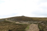
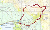
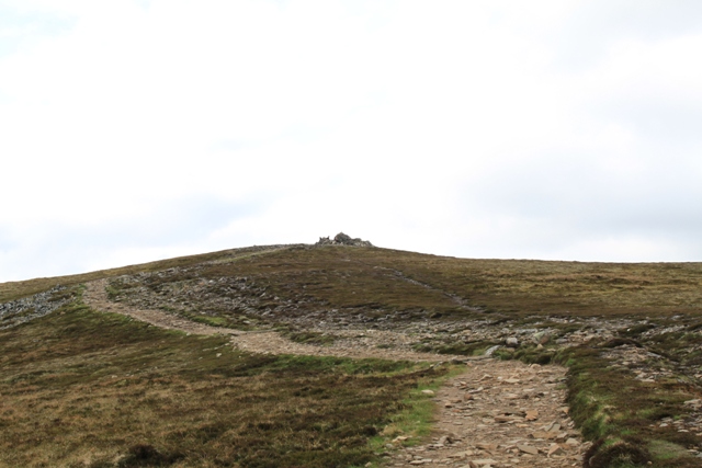
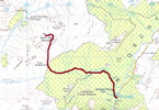
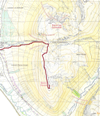
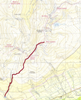
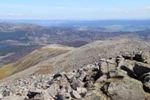
The basics are on this page. If you want to gaze at more pictures and/or find out about the (easiest) route, just click on the map. By the way, the duration of the walk, is an average one and not necessarily how long it took us to get to the top and back down again.
You can always find more information about any hill via the WalkHighlands website or on that of MunroMagic.
Grahams
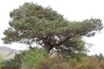
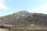
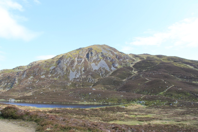
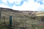
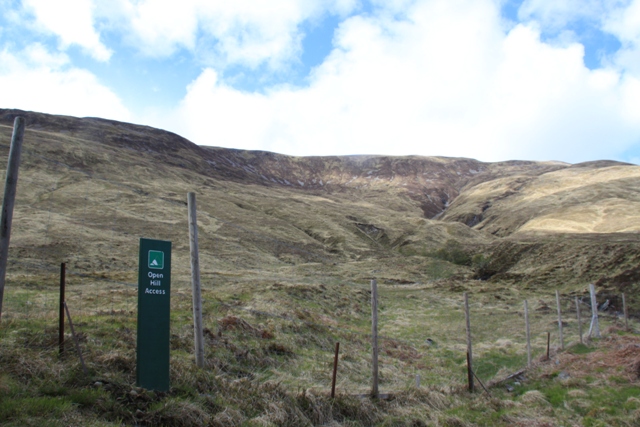
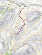
 Fiarach
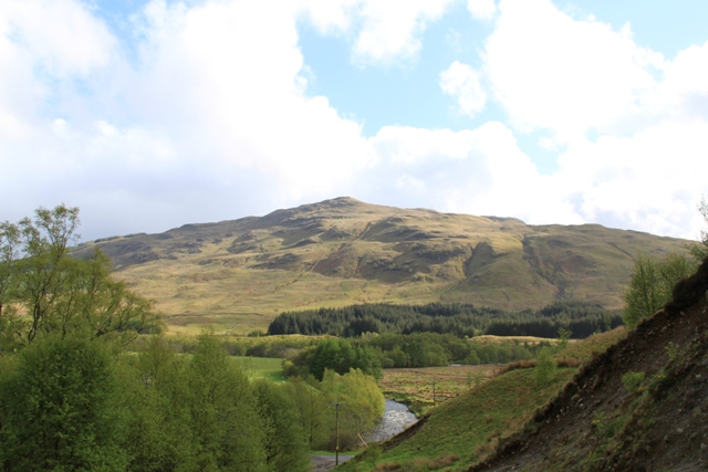
Height: 652m
Meaning: Grassy pasture (according to some pages); Slanting hill (according to another)
Ranking: 173
Location: close to Tyndrum, on OS map 50 // Harvey's BMC Southern Highlands
Walk: 10km -
4h
Corbetts
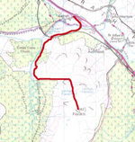
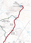 Ben Vrackie
Height: 841m
Meaning: Speckled hill
Ranking: 101
Location: Near Pitlochry, on the edge of 3 OS map 43-52-53
Walk: 8.5km -
4h
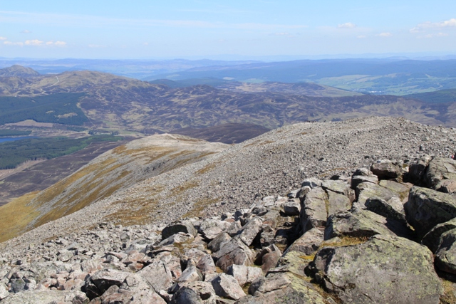
 Meall a' Bhuachaille
Height: 810m
Meaning: Shepherd's hill
Ranking: 140
Location: Glenmore Forest Visitor Centre, on OS map 36 // Harvey's BMC Cairngorms & Lochnagar
Walk: 8km -
4.30h
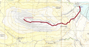
 Beinn Mhic Mhonaidh
Height:796m
Meaning: Hill of the son of the moor
Ranking: 166
Location: Eas Urchaidh parking, Glen Orchy, on OS map 50
Walk: 13.5km -
5h
Munros
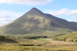
 Beinn Dorain

Height: 1076m
Meaning: Hill of the small stream
Ranking: 64
Location: Bridge of Orchy, on OS map 50 // Harvey's BMC Schiehallion
Walk: 10km -
5-6h
 Ben Lawers and Beinn Ghlas

(grouped together as usually climbed together)
Height: 1214m and 1103m
Meaning: Hill of the loud stream and Green hill
Ranking: 10 and 47
Location: Ben Lawers car park, on OS map 51 // Harvey's BMC Schiehallion
Walk: 10km -
5-6h
 Schiehallion
Height: 1083m
Meaning: Fairy hill of the Scots
Ranking: 59
Location: Braes of Foss, on OS map 51 // Harvey's BMC Schiehallion
Walk: 10km -
5-6h
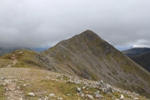
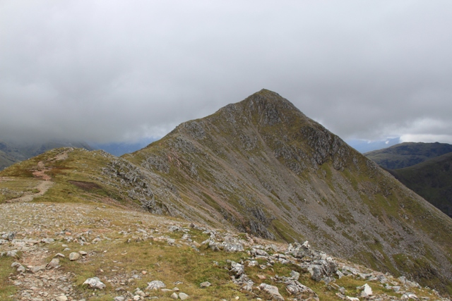
 Stob Dubh (Buachaille Etive Beag)
Height: 958m
Meaning: Black peak (Small herdsman of Etive)
Ranking: 201
Location: Glen Etive Car Park, on OS map 4151 // Harvey's Superwalker Glen Coe
Walk: 7km -
5h
